Can anyone tell me why the Rye town map on this site is upside down? Thanks.
What’s new?
Soap and Salvation

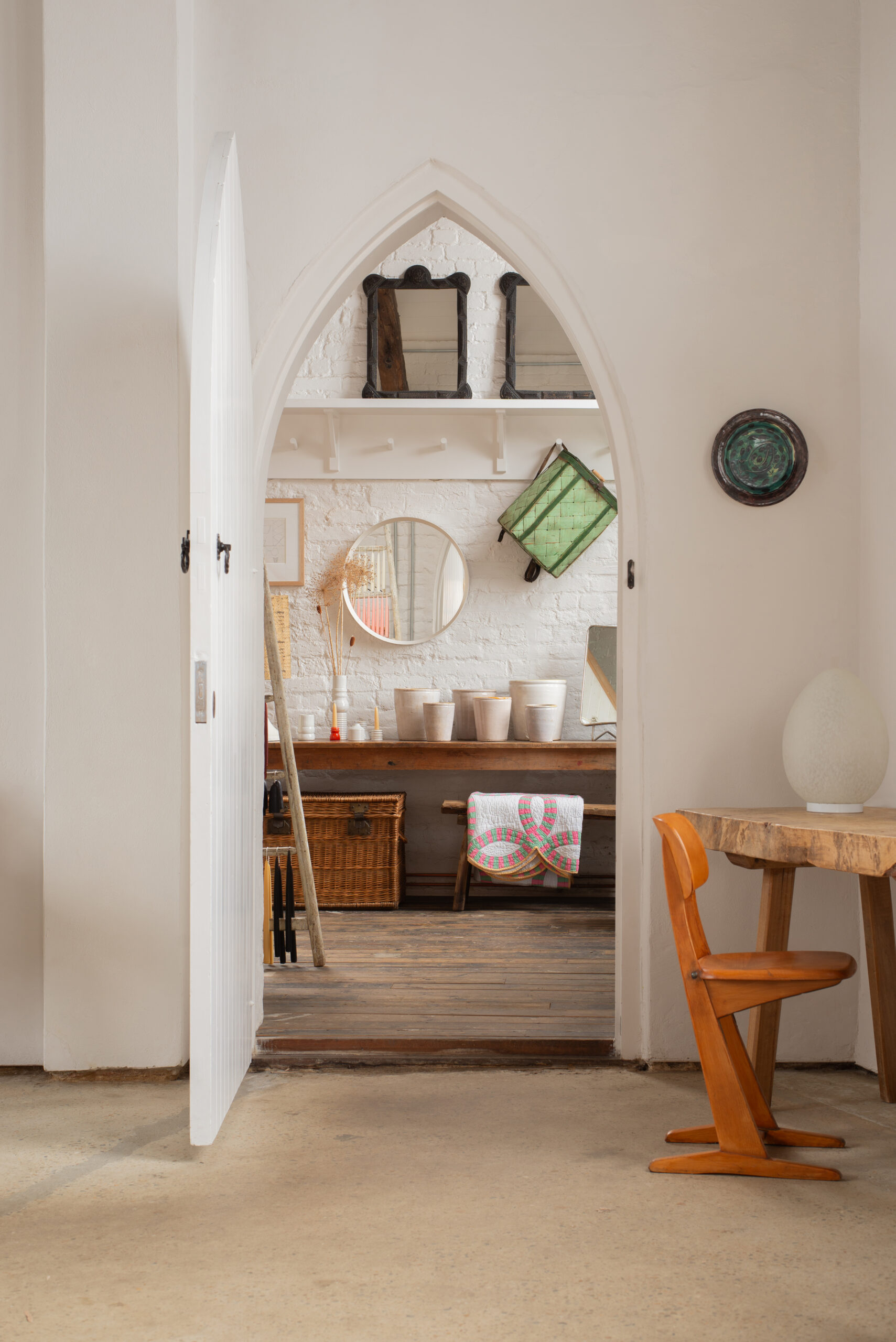
A place to discover vintage and antique homewares, books, art and objects.
Listed in: Antique Shops
Featured Links
Cadborough Cottages

Walking distance from Rye. Ample parking. Peaceful location.
Jeake's House

Award winning 17th century town house in medieval cobbled street
What’s on in Rye
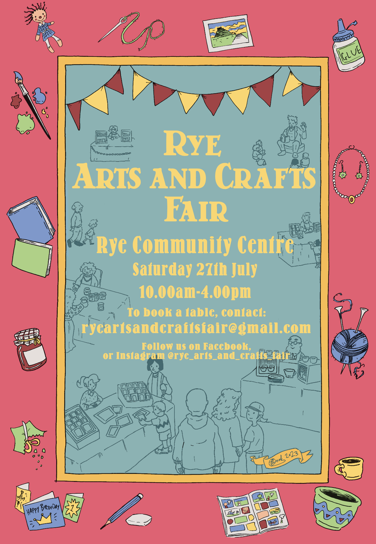
Rye Arts & Crafts Fair
, 10:00am – 4:00pm
Rye Community Centre, Rye

Category: Shopping Fairs and Markets
Message Board
Are you over 65 and have had counselling via video?
I am conducting some important research into peoples lived experience of psychological therapy taking place via video and what this … more
Walking Tour
Please can anyone tell me who to contact to book a place on the Friends of Tilling tour relating to … more
One response to “Rye Map”
Sorry for the crazy late reply to your question!
It’s pretty straight forward really. Rye maps are drawn from an elevated viewpoint of the town and, as such, if the map were to be drawn drawn in the opposite orientation, all the shops and attractions would be hidden behind the hill that Rye sits on. Which wouldn’t be very practical. Other reasons are that the church faces north, most of the roads and the railway come into the town at the north and, as such, the presentation to the visitor is much more palatable to them when the “entrances” to the town are shown from the bottom … as is done with almost all attraction maps.
Anyway, maps have been drawn of Rye like this for centuries, it’s quirky and we like it 🙂